

Located in the Gulf of Thailand, Phú Quốc island lies just 12 km south of the Cambodian coast, west of Kampot, and 40 km west of Ha Tien, the nearest coastal town in Vietnam. Roughly triangular in shape the island is 50 kilometres (31 mi) long from north to south and 25 kilometres (16 mi) from east to west in the north at its widest. It is also located 62 nautical miles (115 km; 71 mi) from Rạch Giá and nearly 290 nautical miles (540 km; 330 mi) from Laem Chabang, Thailand.
A mountainous ridge known as "99 Peaks" runs the length of Phú Quốc, with Chúa Mountain being the tallest at 603 metres (1,978 ft).
The island's monsoonal sub-equatorial climate is characterized by distinct rainy (June to November) and dry seasons (December to May). The annual rainfall is high, averaging 2,879 millimetres (9.446 ft). In the northern mountains up to 4,000 millimetres (13 ft) has been recorded. April and May are the hottest months, with temperature reaching 35 °C (95 °F).
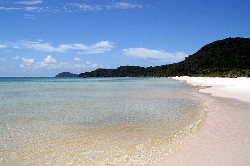 |
| A beach in Phú Quốc |
|
A beach in Phú Quốc
|
 |
Sùng Hưng pagoda
|
 |
| Hotel in Phu Quoc |
 |
Phú Quốc coastline
|
|
Dương Đông river's mouth
|


0 comments:
Post a Comment